The new service provides special notification of the crisscrossing waves often encountered at many places along the Norwegian coast. A methodology developed by Polytec forecasts when and where they will arise.
Useful for all
Forecasting of cross seas and wave heights is useful for all seafarers, but particularly for players involved in boat hire and fishing tourism. Visiting anglers are often wholly unfamiliar with the waters they will be in.
No exact figures exist on the frequency of accidents caused by cross seas, and vessel sinkings will in many cases be the result of several factors. Poor stability, in particular, is often cited as a cause of capsizing.
Cross seas can occur even when conditions are otherwise calm. That could be why people get fooled into setting out in boats which are too small or insufficiently stable.
Change direction
Cross seas are a phenomenon which arises when waves change direction in such a way that they collide at an oblique angle with other ones.
This often happens on the lee side of shoals, which act like a lens in concentrating the wave energy. Variations in currents can also give rise to cross seas, which are then known as cross-currents.
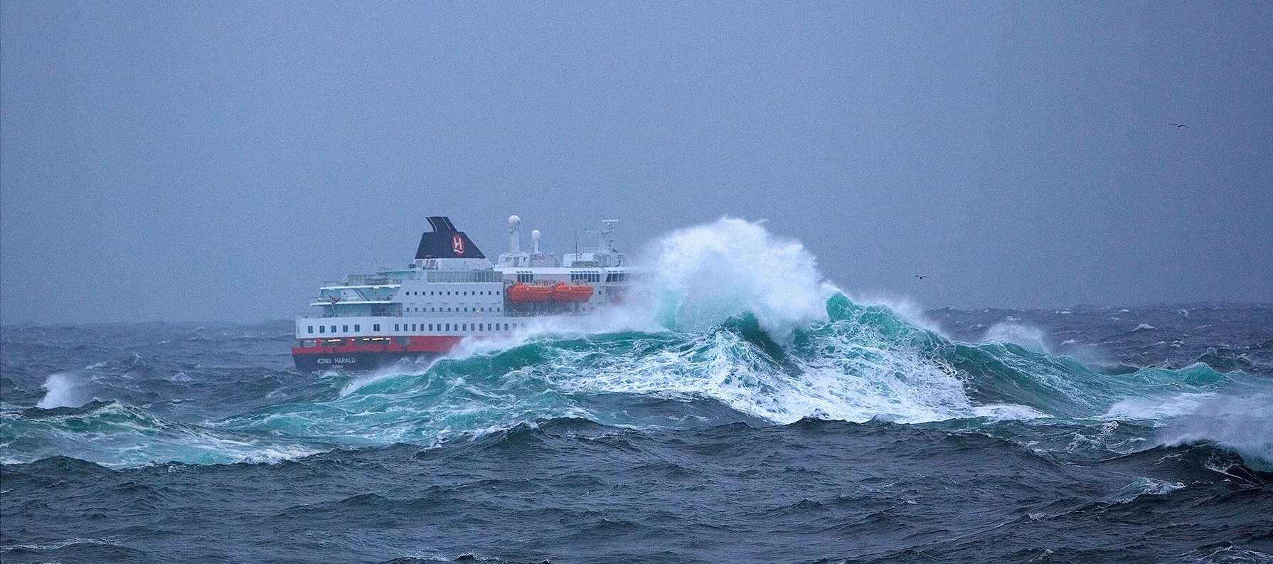
A typical feature of cross seas is that resistance rises, the waves get higher and are often pyramid-shaped. They will also come from a different angle to the main direction, and can therefore take an unready crew by surprise.
When wave heights are low or moderate, vessels navigating in areas affected by cross seas should use accurate charts, keep a good lookout and possibly reduce speed.
Crisscrossing waves can damage even large vessels as well as causing unnecessary discomfort for passengers and crew.
See an example from the coast of Finnmark (in Norwegian).
In the event of higher waves, locations where cross seas occur should by avoided if possible or navigated with special care.
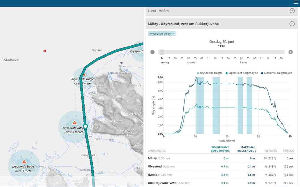
Initial areas along the coast covered by a first version of the new service include Stad, Hustadvika and Røst/Værøy.
Click here for an example: Outer fairway Bjørnsund-Svartoksleia.
The goal for the forecasting service is to provide full coverage of the Norwegian coast with warnings for both fairways and cross seas. In addition, a special forecast for hazardous currents is planned.

Illustration: Areas affected by cross seas are marked with blue fields on the chart and in the graphic. Triangles warn of crosscutting waves with heights above three metres.
